Poole Harbour oil spill: what we know so far
Getting a bit of background with some old books and LIDAR data
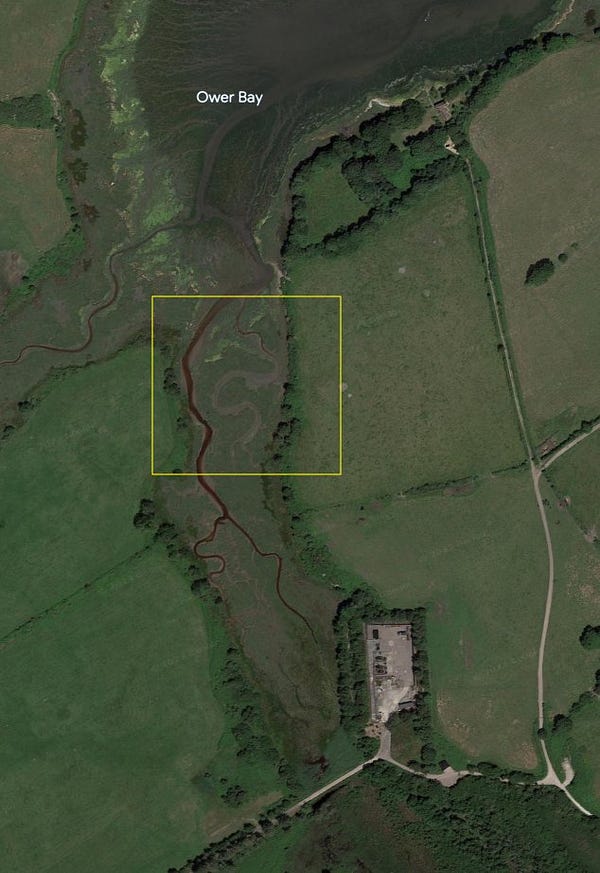
On Sunday evening, authorities declared a major incident at the Wytch Farm field on the UK’s south coast after oil from infrastructure operated by Perenco leaked into Poole Harbour — a protected area for wildlife (and extremely rich people).

Details are still thin on the ground, but the Harbour Commissioners told the BBC yesterday that the leak involved 200 barrels of reservoir fluid comprising about 15% crude oil — and a video (since deleted) sent to me by a local boat owner certainly suggests that things were pretty oily out in Poole Harbour on Sunday morning.
In a fast-moving situation like this, a little bit of open source research can go a long way in piecing together what happened.
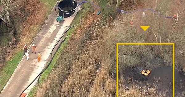
First things first, here’s an old map of the Wytch Farm field from a book called Britain’s Onshore Oil Industry (1983). The incident happened at Ower Bay, just above the wells marked “D”, “4” and “5” on the right-hand side of the map. Last night I suggested on Twitter that Well Site D was the likely culprit, and this morning helicopter footage from Sky News confirmed that this is where the clean-up operation is taking place.


Why Well Site D? The plan below is taken from an Environment Agency permit document released after a 2020 Freedom of Information request by a journalist from The Canary. It clearly shows a pipe for discharge of surface water from the well site into a “surface water moat”, and from there into the stream leading to Ower Bay.
The document also includes a description of the facilities at the well, confirming “site surface water discharge to Claywell stream” — this refers primarily to rainwater accumulating at the site, which isn’t supposed to contain oil, but does at least indicate that there is an established route for liquid to flow from this site to Ower Bay.
The Environment Agency planning document also shows that the site includes a reinjection well — i.e. a well for pumping processed water into the ground to force out more oil. In the case of Wytch Farm, the water is sourced from the harbour and processed at a treatment facility at Cleavel Point, just to the east of Ower Bay.

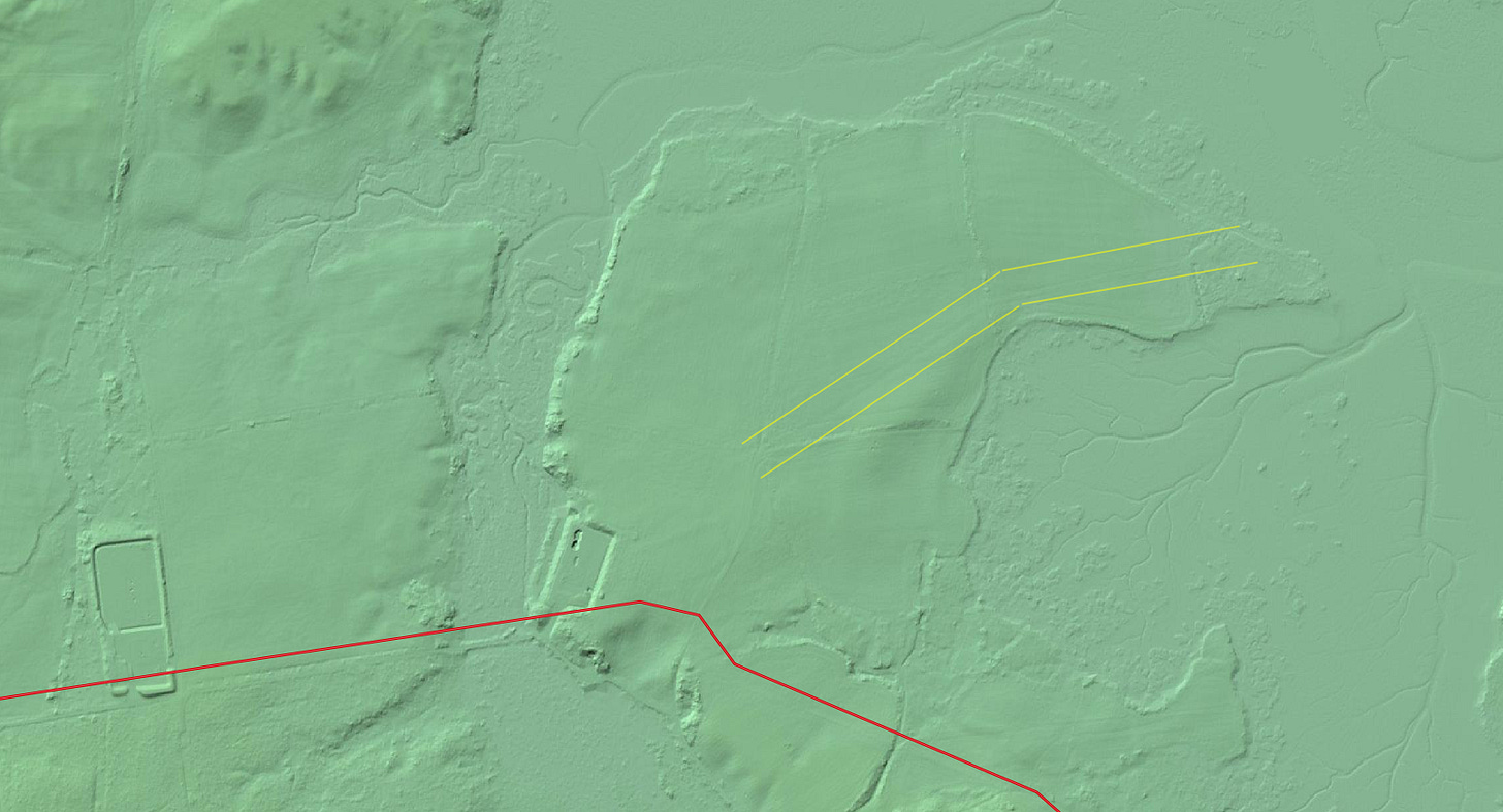
A map of Perenco’s infrastructure in the area that I’ve georeferenced includes a very faint line marking a pipeline between Cleavel Point and Well Site D. While it’s not visible from satellite imagery (because it’s underground…), the Environment Agency’s amazing LIDAR data lets us see the indentation it makes in the surface of the field above (between the yellow lines in the image below).

So, we know (a) that the spill involved lots of oily water; (b) that it happened at or near Well Site D; and (c) that the well injects processed seawater into an oil reservoir. What we don’t know, and what we might have to wait several weeks for, is exactly how it happened.
I’ve reached out to Perenco for comment, and while the company hasn’t yet responded I’ll update this post if they do. In the meantime, we’ll be keeping a close eye on recent satellite imagery from Poole Harbour.
Update: Sky News’s OSINT editor Adam Parker has done a great video digging into what happened — check it out below.


